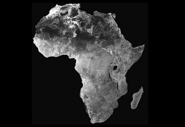
Do you want to travel to Africa for a dream vacation? Take note of the geographical data that we leave you below that can be of great help:
– Number of countries in Africa
In total there are 54 and a couple of disputed territories (Western Sahara and Somalia). South Sudan is the newest country in Africa, officially born on July 9, 2011.
– The highest mountain
Mount Kilimanjaro, Tanzania: 19,340 feet / 5895 meters.
– The lowest point in Africa
It’s Lake Assal in Djibouti that sits 515 feet (155m) below sea level. 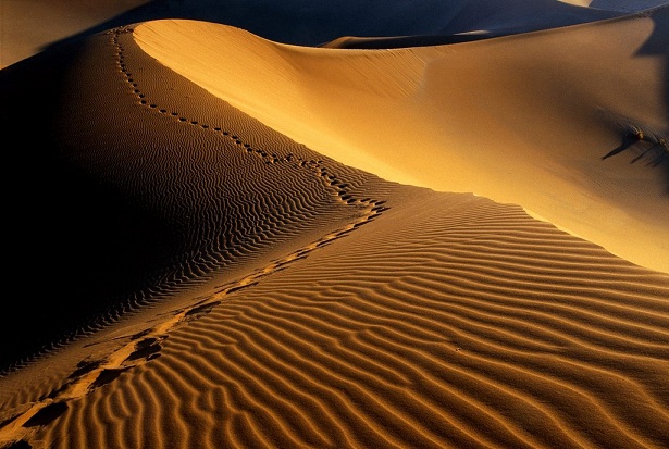
– The largest desert
The Sahara Desert that spans nearly 3.5 million square miles (9,000,000 square kilometers). It spans North Africa and makes up a large part of a dozen countries.
– The longest river
The Nile, which is also the longest river in the world. It runs from Uganda all the way to Egypt for about 4,132 miles (6,650 km).
– The largest lake in Africa
Lake Victoria in East Africa. It occupies the border with Uganda, Kenya and Tanzania. This lake is the second largest in the world, occupying 26,560 square miles (68,800 square kilometers). It is the main source of the River Nile. 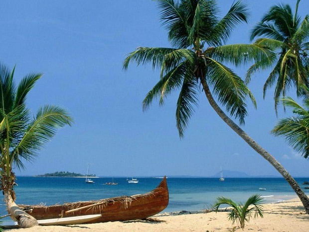
– Largest island
Madagascar, located on the eastern coast of Africa in the Indian Ocean. It is also the fourth largest island in the world. Madagascar is just over 1,000 miles (1,580 kilometers) long and 350 miles (570 km) wide.