One of the best interactive tools that we can use when traveling is Google Maps , which can be used a lot to plan your trip and make it perfect and fully productive. Next I will give you some tips to travel with Google Maps and that you know how you can organize each category:
– Transport : Thanks to Google Maps you can calculate the distance of any route and know which is the shortest. Ideal if you bring your own car, if you rent one or if you have to take a taxi so that you know which route is the best and that they do not fool you, which does not always happen but you may get a smartass.
– Plan visits : In this way you can take advantage of all the time to see the maximum number of possible sites. In the application you will be able to see the monuments, museums, gardens, buildings and organize them by zones, calculate the time and distance from one point to another or which nearby places are recommended to take a break and go to eat.
– Plan the trip by car : In addition to what I told you in the previous point, you can complement your trip with a GPS and you will arrive before anywhere since Google Maps shows you the exact directions of each place. There are some GPS that are integrated with Google Maps, so that everything you organize on your computer can be transferred to your car device.
– Virtual visits : To make sure you want to visit everything you have organized, you can take a virtual trip with Google Earth, a parallel service in which you will visit any city in the world to see all its streets, monuments and even the people who are walking or cars circulating. Spectacular.
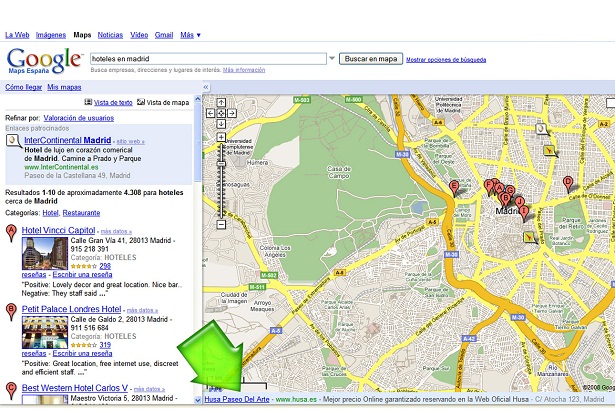
– Hotels and restaurants: This tool also allows you